Национальный фонд гео данных |
В целях централизованного учета, хранения и использования топографо-геодезических и картографических документов, создан Национальный фонд геопространственных данных (со статусом службы), как подразделение АЗОК, где хранятся топографо-геодезические и картографические материалы на всю территорию страны, представляющие технический, научный, экономический, исторический, социальный и культурный интерес.
Топографо-геодезические и картографические материалы и данные выдаются для пользования органам публичного управления и частному сектору по требованию согласно Положению Фонда.
Посетите нашу страницу facebook.
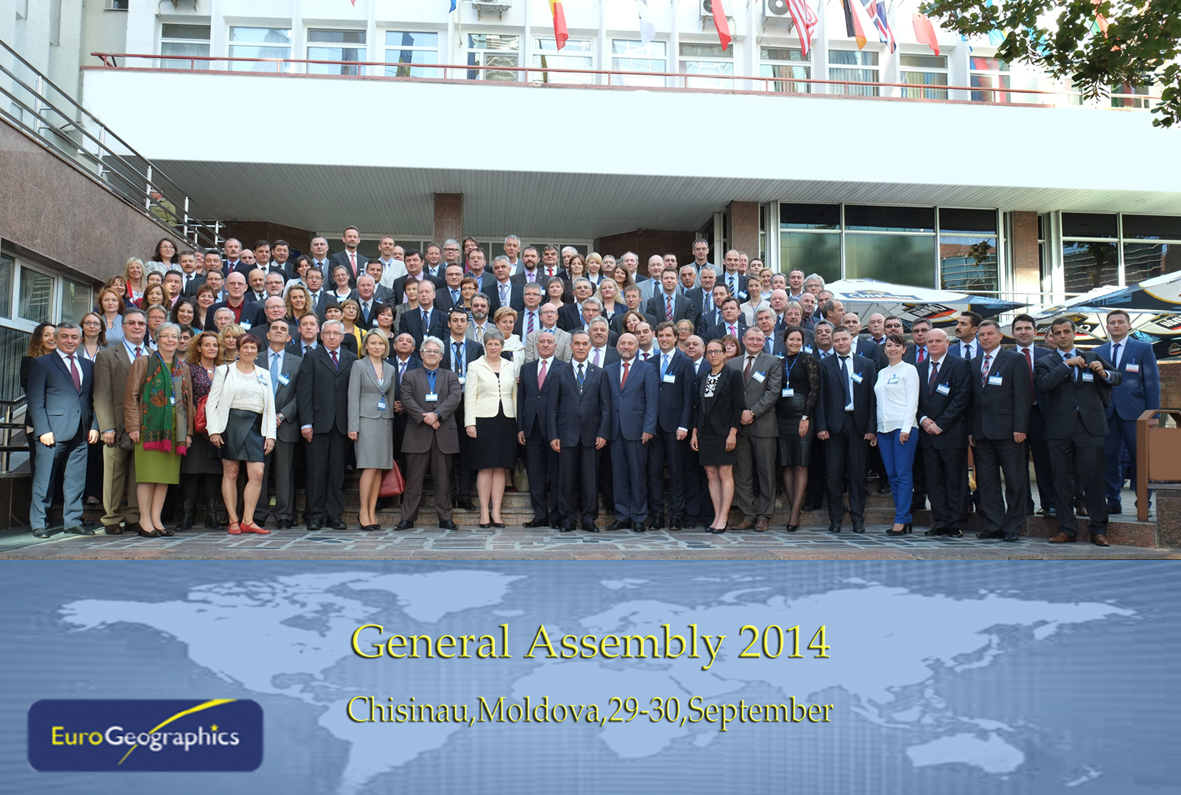
EuroGeographics represents the European National Mapping, Cadastral and Land Registry Authorities.More than 150 participants from more than
50 members' authorities, invited guests and speakers are attending the
General Assembly fom 29th September - 1st October with an attracting
programme.
During the 2-days event top experts from whole Europe
will share their experiences and knowledge and discuss about actual
topics and issues, future plans and solutions. High profile speakers
from our Association and invited guests from partners'associations and
institutions will contribute to the interesting and crucial topics of
today.
Host of this year's General Assembly - State Agency for
Land Relations and Cadastre together with the EuroGeographics Head
Office team welcomed all members and guest in Chisinau.We wish all our
delegates and guests a very successful General Assembly!