National geospatial data fund |
For the purposes of centralized accounting, keeping and use of topographical, geodetic and mapping documents there has been created State Cartographical and Geodetic Fund storing the respective materials for the whole territory of the Republic of Moldova. These materials are of technical, scientific, economic, historical, social and cultural interest.
Topographical, geodetic and mapping materials and data are distributed for use to public authorities and private sector on demand, observing the Fund Regulations.
Visit our facebook page.
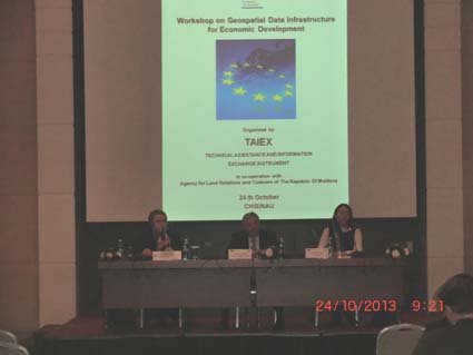
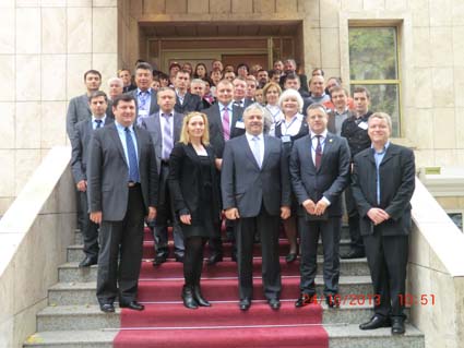
October 24th Director General of the Agency for Land Relations and Cadastre Mr. Anatoly Ghilaş opened Workshop on Geospatial Data Infrastructure for Economic Development, organised TAIEX European Commissionin co-operation with Agency for Land Relations and Cadastre of the Republic of Moldova.
During the working sessions of the event will discuss the European experience in the development of spatial data infrastructure, e-government initiatives, platforms Geoportaluri, standards and other important things. Also participants will have the opportunity to share ideas, exchange knowledge and experience.
Presentations:
INSPIRE Directive
Value of international geospatial standarts
Web and Cloud computing Based Geospatial Services and Applications
eGovernment initiatives
The role of governments in geospatial data provision and management
Importance of mapping and cadastre for management of resources and sustainable development
The role of the private a non-government sectors in geospatial data infrastructure development
Geoportals-best practise
State of play of the implementation of the INSPIRE Directive in Moldova
Development of Geoportal in Moldova